October 5, 2011 - Foxburg, Emlenton and Rockland Station

A long hot summer of no spare money passed before we got the chance to
get back to this project.The day was sunny and warm after nearly a week
of old rain We ran over 58 and picked up the RoW south of Foxburg There
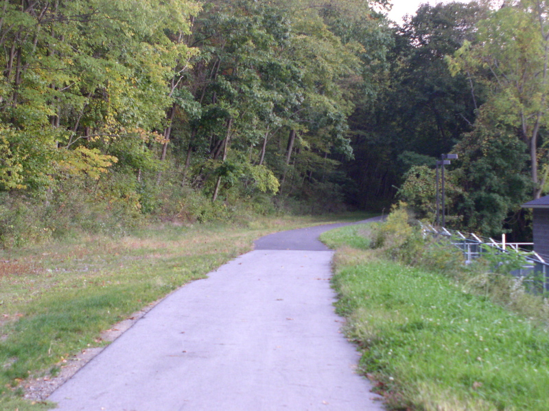
isn't a whole lot left in this section. - looking south from the
Foxburg "Mall"
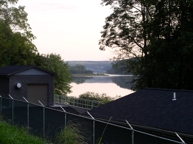
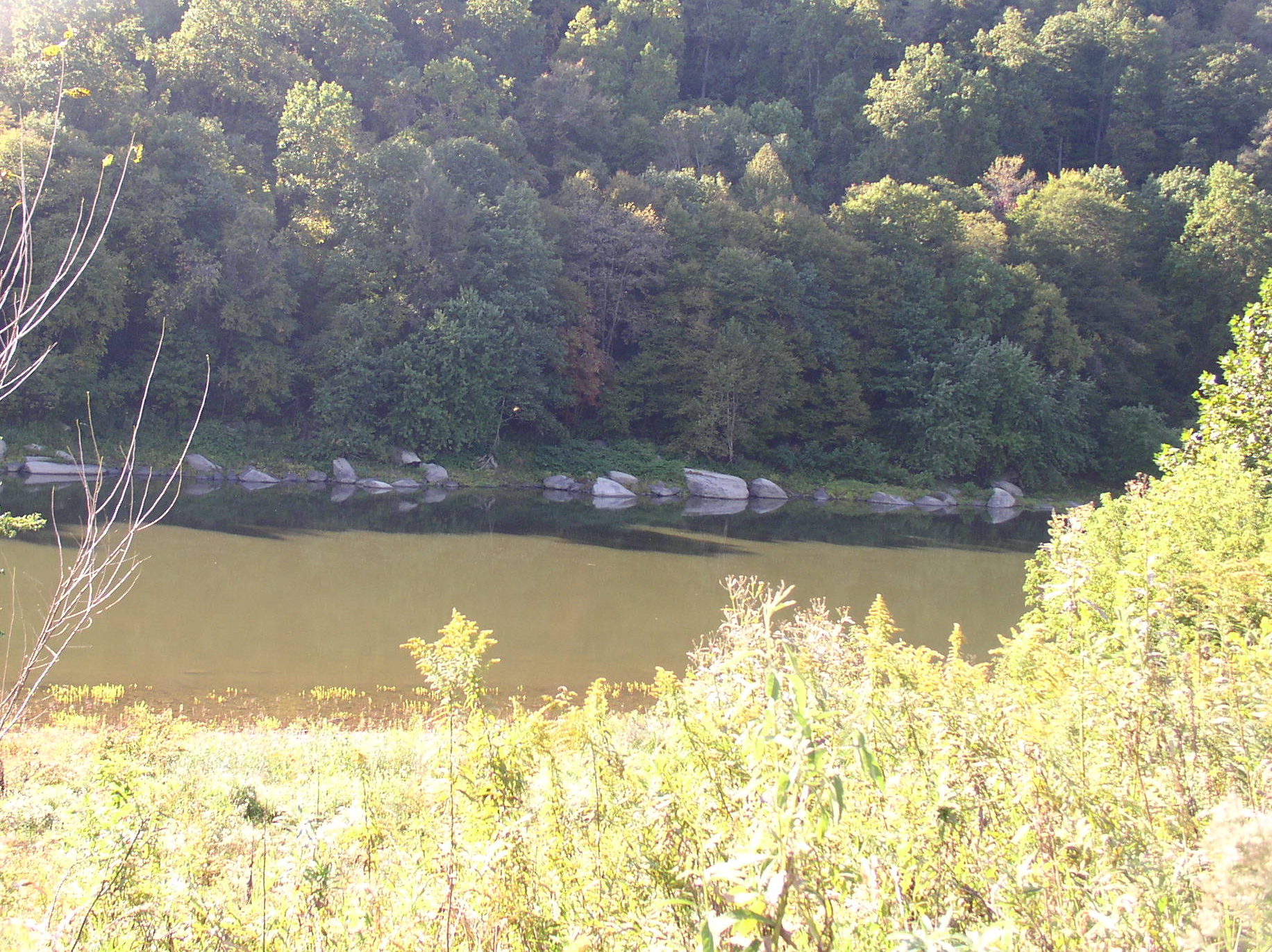
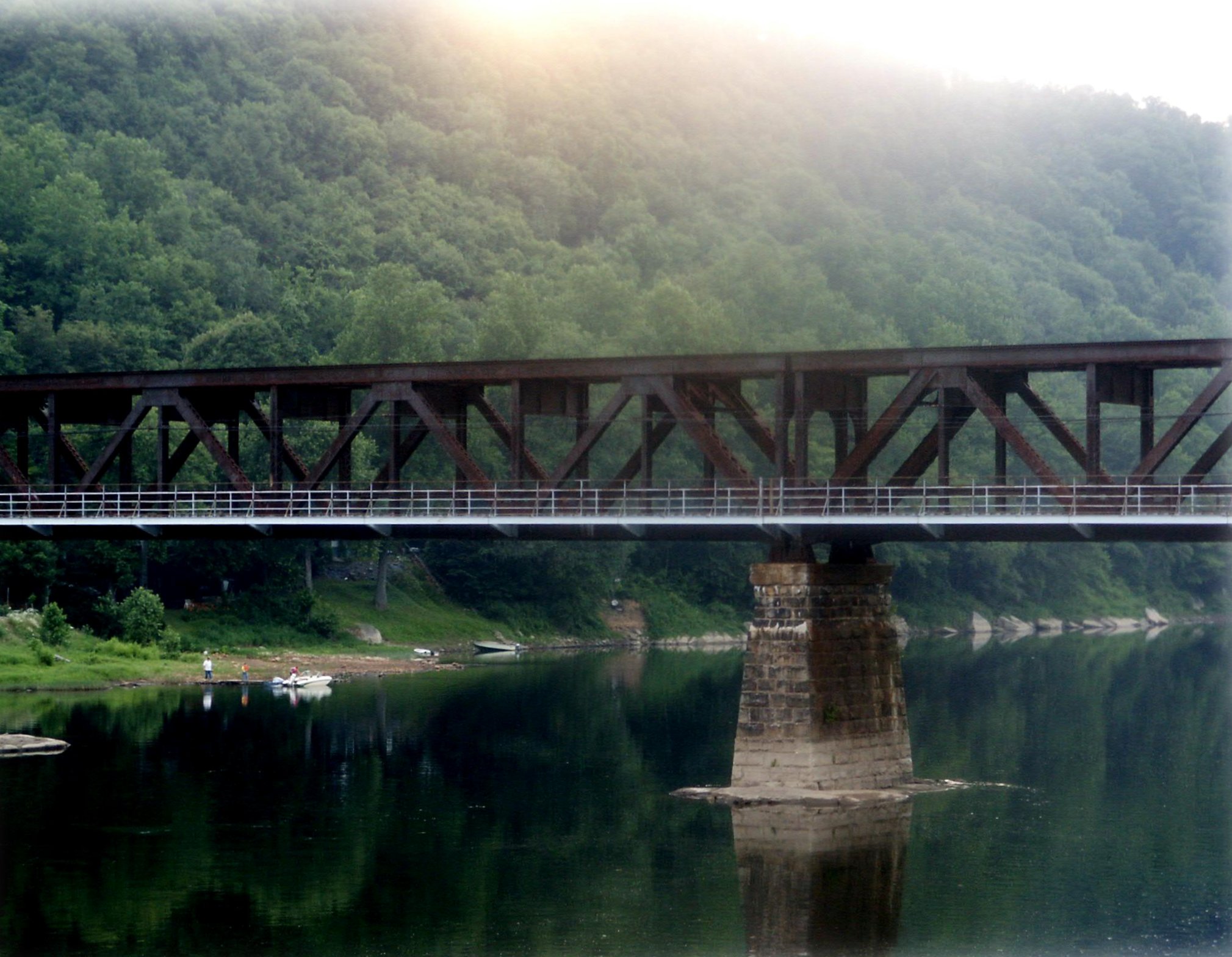
A view of the river from the RoW
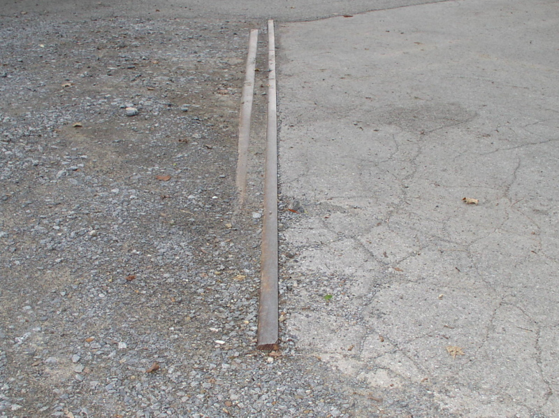
A bit of rail in the pavement gives a clue that this wasn't always just a long narrow parking lot
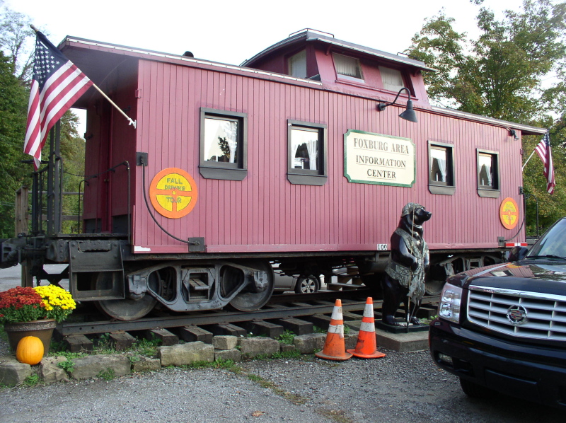
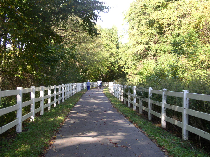
 This caboose, which sits crossways on the old RoW, serves as the visitor's center
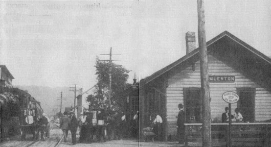
Emlenton Station
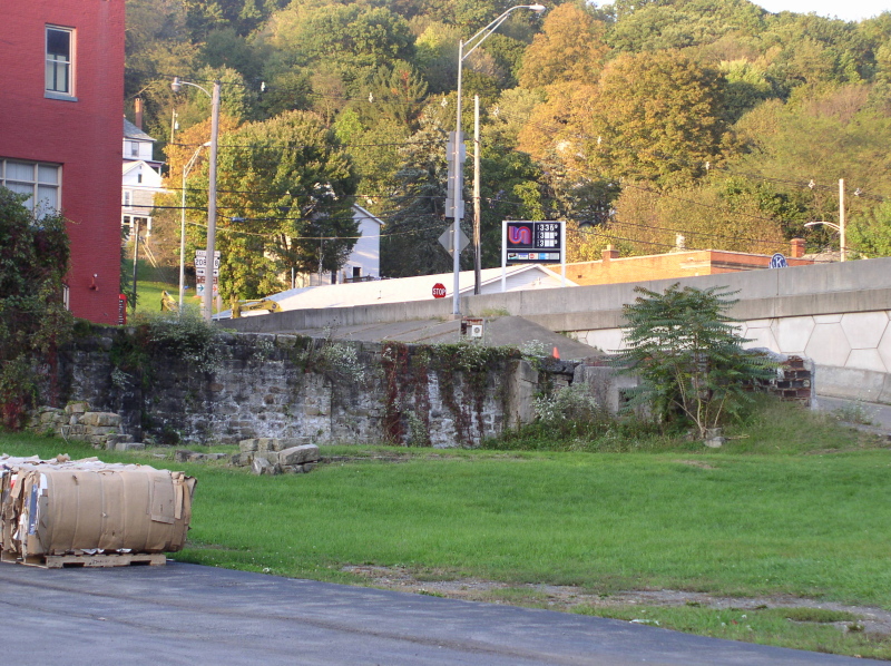
The old RoW is cut in half by the new bridge in the center of town
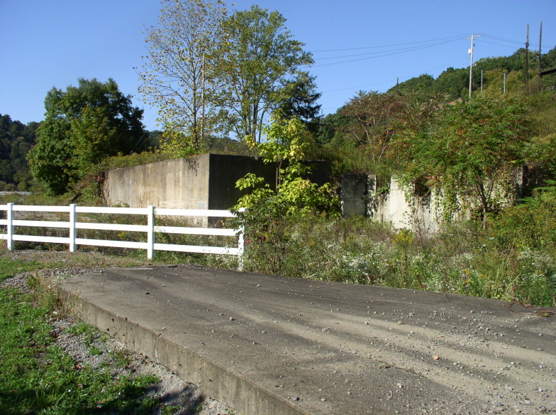
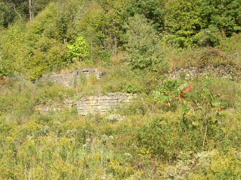
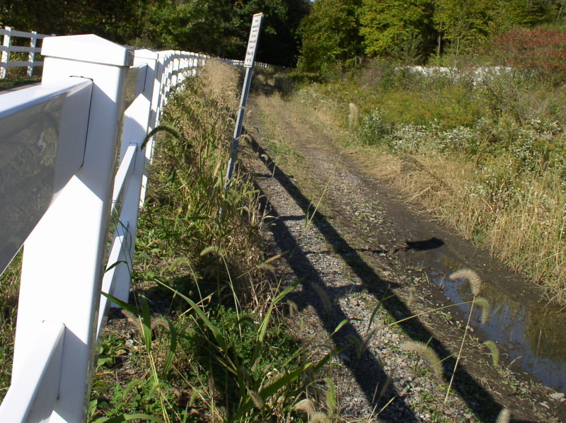
Heading north out of Emlenton you come to the foundations of the old Quaker State refinery. The RoW becomes a non-motorized trail here, and has fences along both sides to keep in the curious
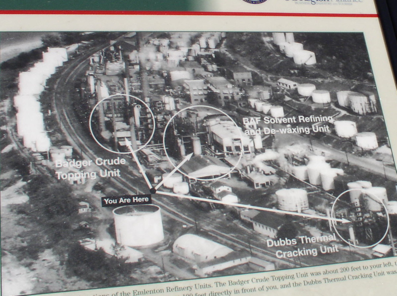
A kiosk shows what the refinery once looked like. Circled parts of it were still in use until the tracks were pulled up in 2000. Now only foundations remain. The double track of the AV main can be clearly seen curving through on the left. I find it quite interesting that it's cheaper to import crude from the Middle East than pump the stuff from the Pennsylvania fields
More refinery foundatuons

A jumble of old ties
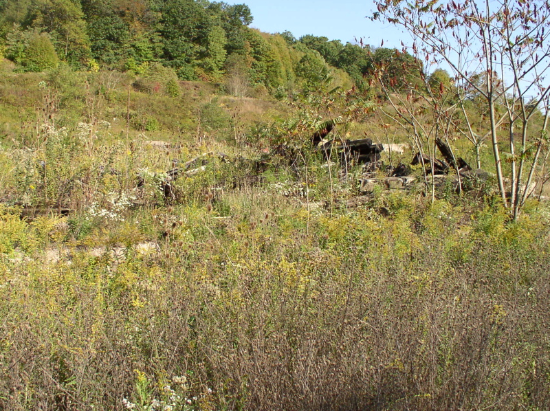
Edge of the old RoW alongside the fenced trail - now an access road
A pole, crumbled ties and other bits of stuff
Beyond the refinery, the hills close in on the river, and the RoW runs on a narrow ledge
Another view of the river from the RoW
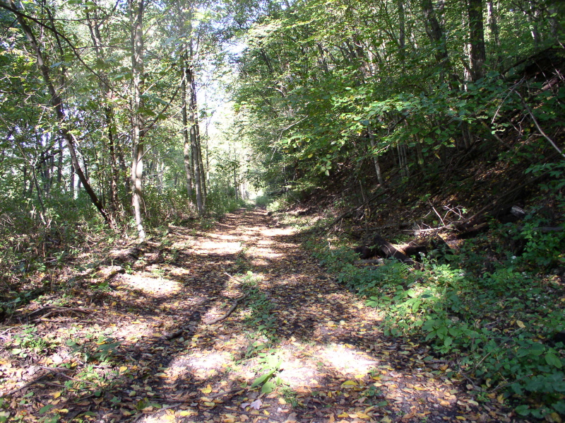
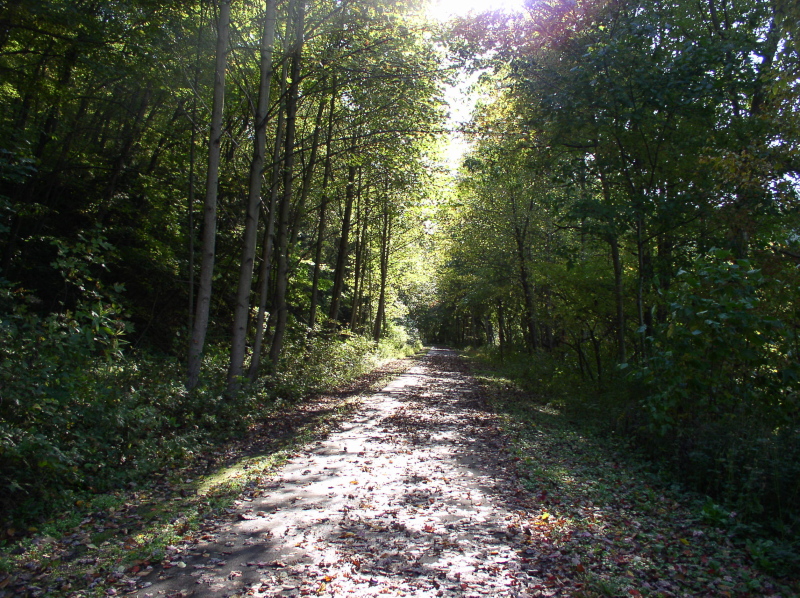
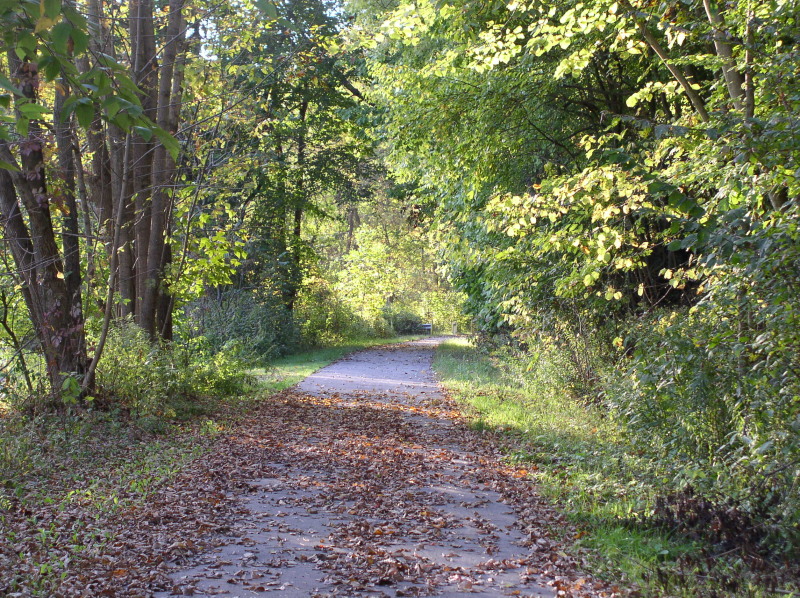
Then the RoW becomes a dirt trail through the woods again
The light at the end of this tunnel will probably never be from a train again
Brick gives way to cut stone for the last 8 feet of the portal
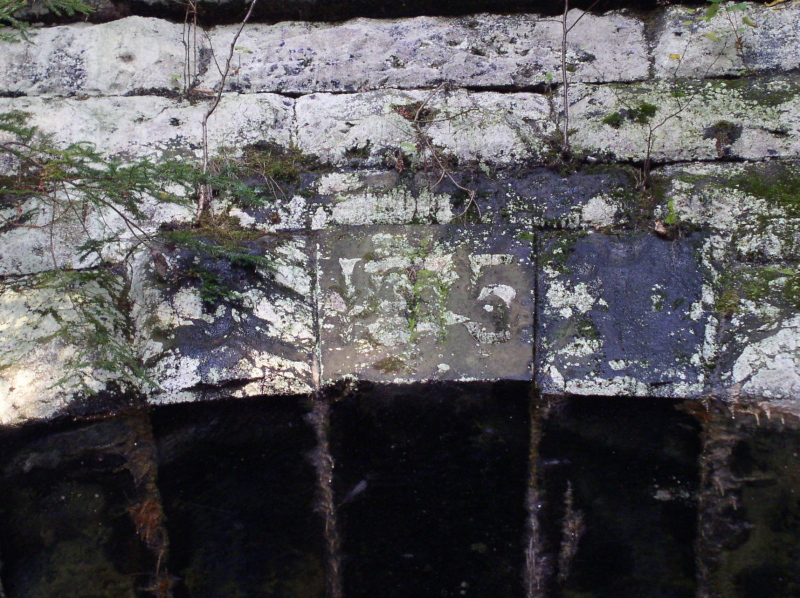
Keystone appears to read 1875, ... but we're pretty it's actually 1915
A view of the river from the RoW
A bit of rail in the pavement gives a clue that this wasn't always just a long narrow parking lot
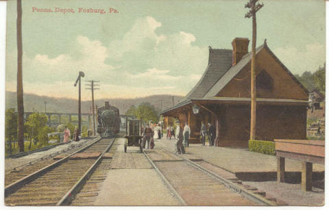
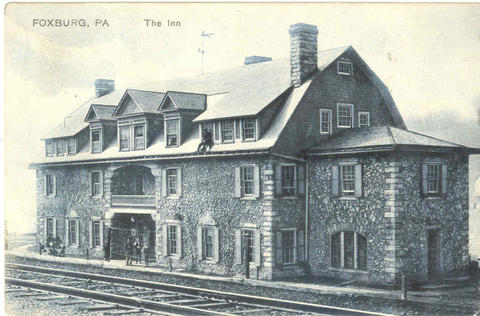
Old postcard of the station at Foxburg. built in 1883, destroyed by fire on May 16,1975
The Silver Fox Inn, with AVRR tracks in the foreground. Destroyed by fire and explosion in 1963
Another long gone feature of Foxburg is the Pittsburgh & Western (later B&O) bridge over the Allegheny River.
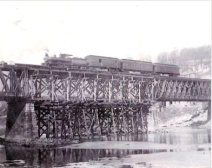
The later 1921 span featured an upper level for trains and a lower for automobiles. We were related a story about this bridge Seems back in the day there
was a 7 YO boy crossing by car with his father. - He heard
a train coming, panicked and started "pulling at levers" ..... causing
the car to wreck. He then got to ride the train home to explain
it to his mother...... This bridge was torn down in 2006
We left the RoW to travel by road.
Much of the old roadbed is posted as Private property through this
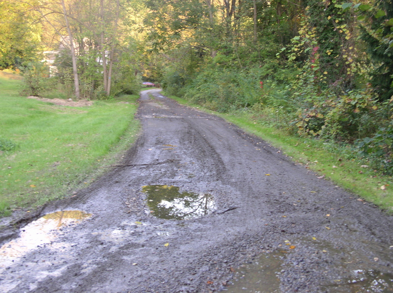
area. We picked it up again on the outskirts of Emlenton, Looking south
towards Foxburg, the RoW here is just a muddy path
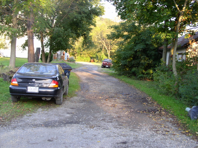
A bit further on, it is now an alley
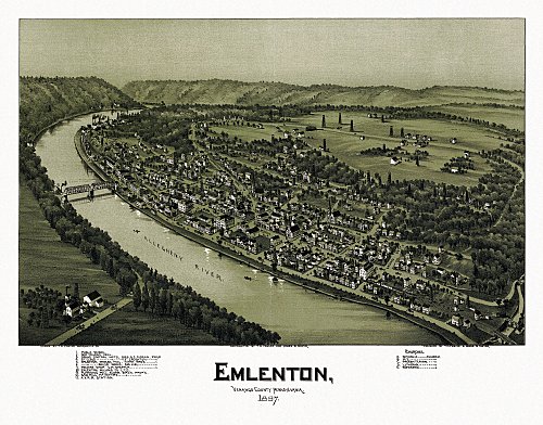
Panorama view of Emlenton 1887
The old RoW is cut in half by the new bridge in the center of town
Heading north out of Emlenton you come to the foundations of the old Quaker State refinery. The RoW becomes a non-motorized trail here, and has fences along both sides to keep in the curious
A kiosk shows what the refinery once looked like. Circled parts of it were still in use until the tracks were pulled up in 2000. Now only foundations remain. The double track of the AV main can be clearly seen curving through on the left. I find it quite interesting that it's cheaper to import crude from the Middle East than pump the stuff from the Pennsylvania fields
More refinery foundatuons
A jumble of old ties
Edge of the old RoW alongside the fenced trail - now an access road
A pole, crumbled ties and other bits of stuff
Beyond the refinery, the hills close in on the river, and the RoW runs on a narrow ledge
Another view of the river from the RoW
Then the RoW becomes a dirt trail through the woods again
We decided to try to reach the half mile
long Rockland Tunnel by car instead of walking further. Township road
T522 to T480 will get you to Rockland Station at the north end of the
tunnel, but they are goat paths in every sense of the word. We couldn't
find anything on the map leading to the south portal... so we thought
we'd just walk through the tunnel.... except our flashlight had other
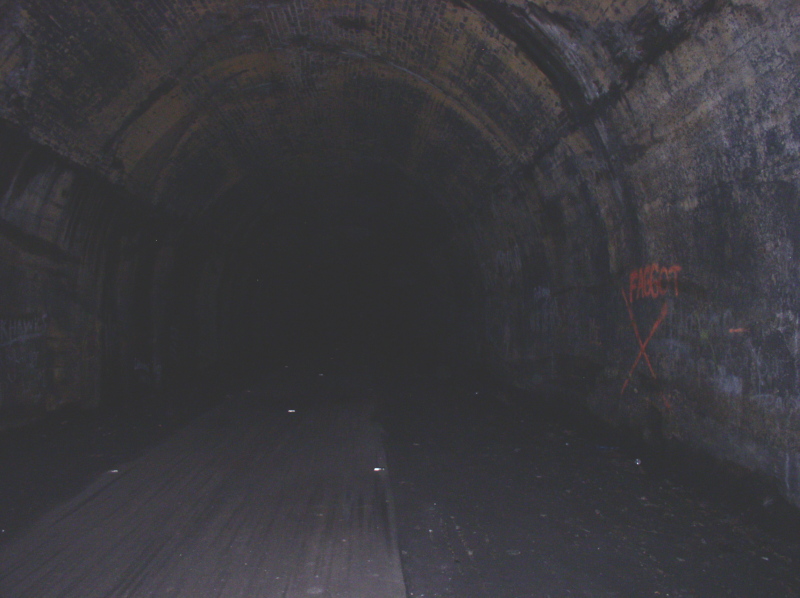
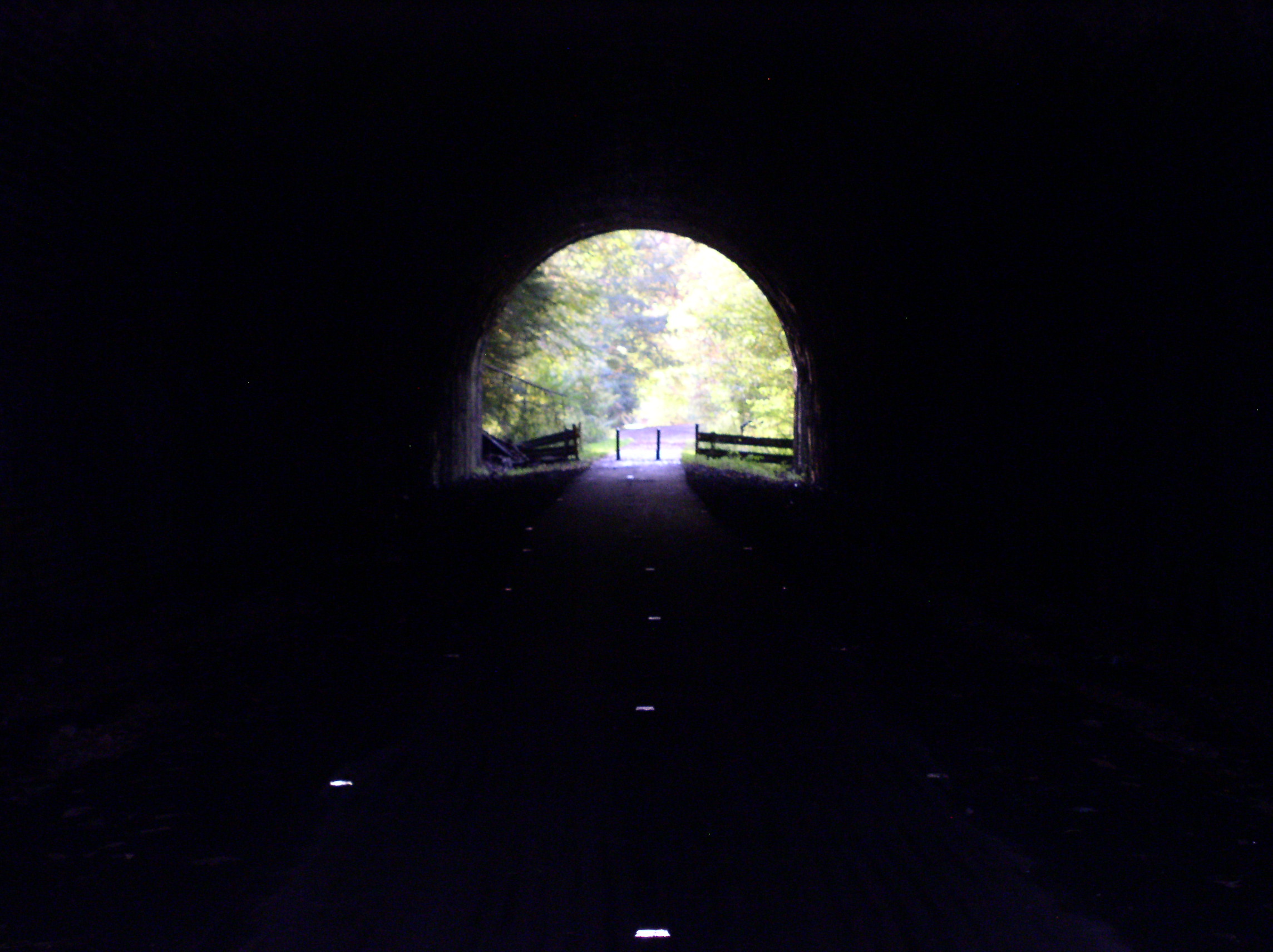
plans.... Here's the point where we had to turn back inside the tunnel,
looking south. You could barely see a sliver of light reflecting off
the wall of the curved tunnel ahead. - So faint that the camera flash
obliterated it.
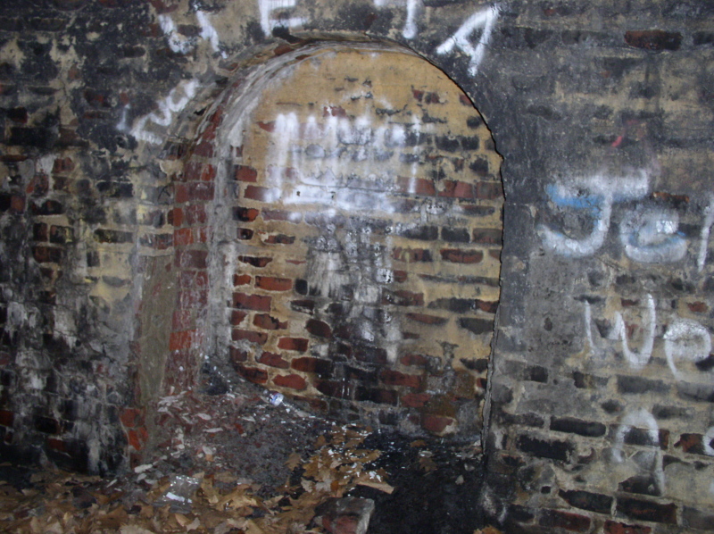
Every 30 feet or so these little arches
appeared on alternating sides of the tunnal bore. They are just big
enough to hold two people, so our best guess is they were for
maintenance cand inspection folks to shelter in as a train passed.
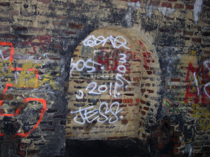
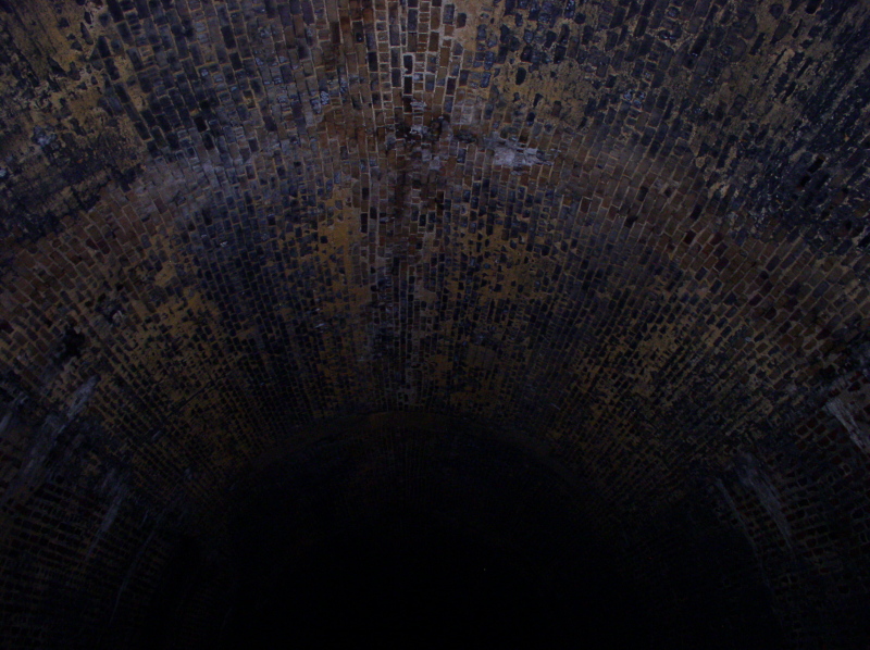
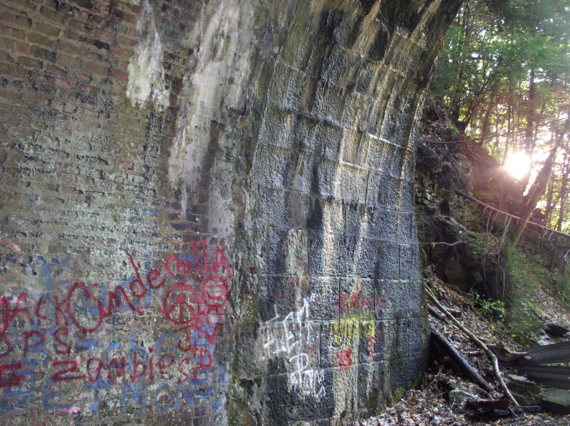
Brick arch overhadhere is still in really good condition,. They say that closer to the South portal it is getting rough
The light at the end of this tunnel will probably never be from a train again
Brick gives way to cut stone for the last 8 feet of the portal
Keystone appears to read 1875, ... but we're pretty it's actually 1915
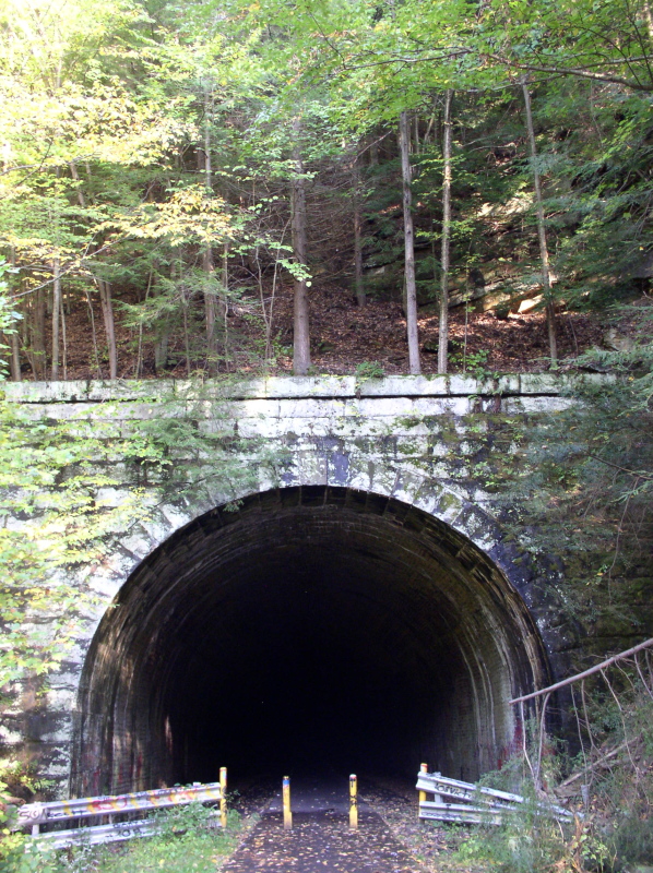
North Portal of Rockland tunnel
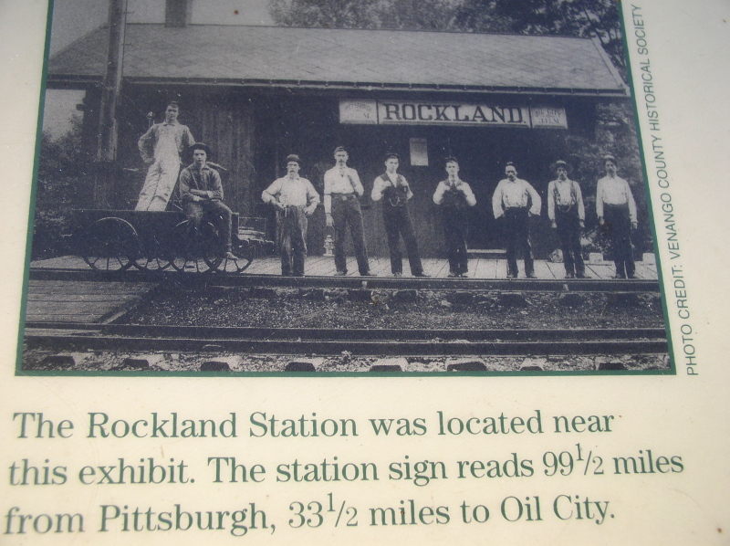
Photo of Rockland Station from a trailside kiosk
Looking north from Rockland Station
Hosted courtesy of the-ashpit.com - a narrow gauge railroad discussion forum for broad minded enthusiasts.
This page is part of the Allegheny Valley Garden Railroad pages