March 27, 2011 - Franklin and Oil City, Pa.


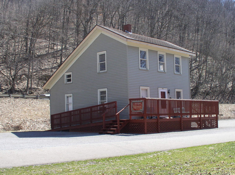
Heading north towards Oil City you come upon the Melissa Gildersleeve house, built in 1871. As it is only about 10 feet from the RoW, it must have been interesting every time a train passed!
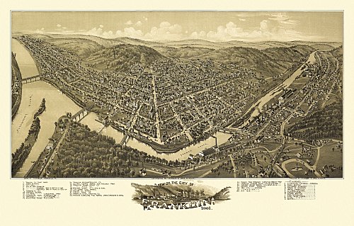
An early panoramic map of Franklin. The AV ran up the opposite river bank (far left)
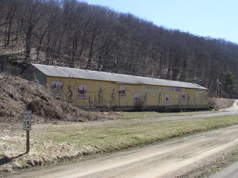
Just beyond the 322 highway bridge sits this building that looks like it may have been a freight shed
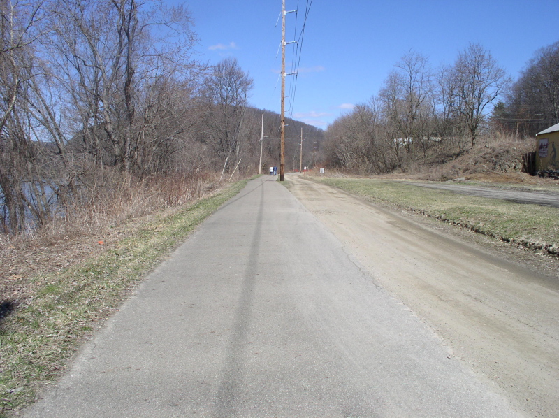
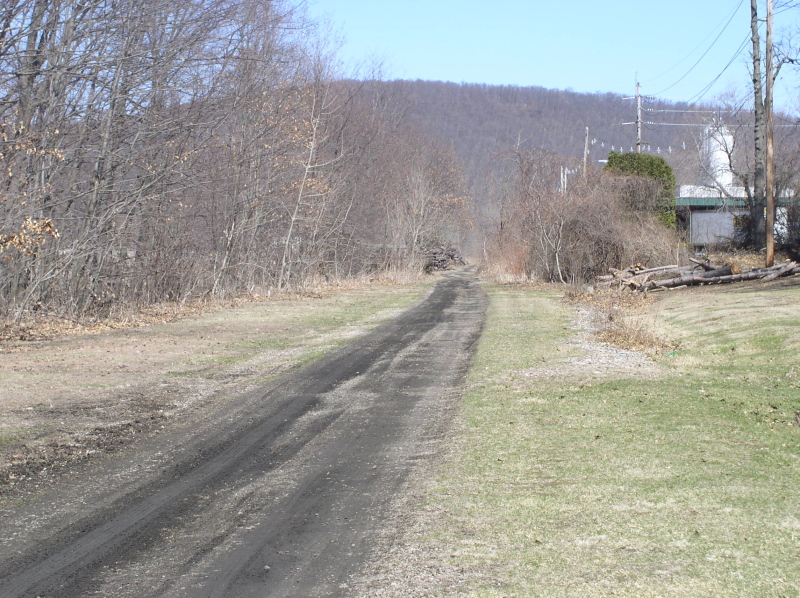
Looking north towards Oil City, just 5
miles upsteam. An icy damp wind was blowing down the river valley, so
this was as far as we walked.
The road went over the mountain, the
river and railbed around it, so we missed about 4 miles. This is the
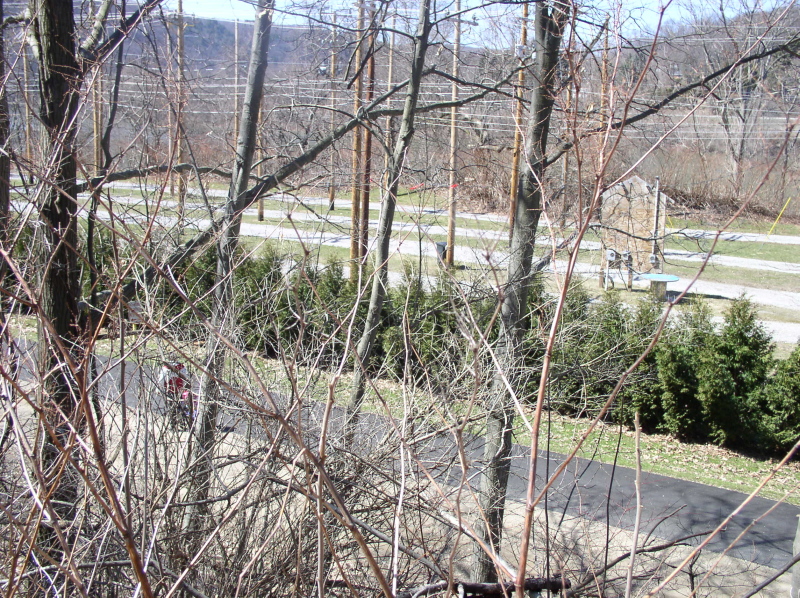
approach to Oil City just below the sewerage plant. These parallel
drives look an awful lot like a rail yard, don't they? The mainline is
the trail in the foreground.
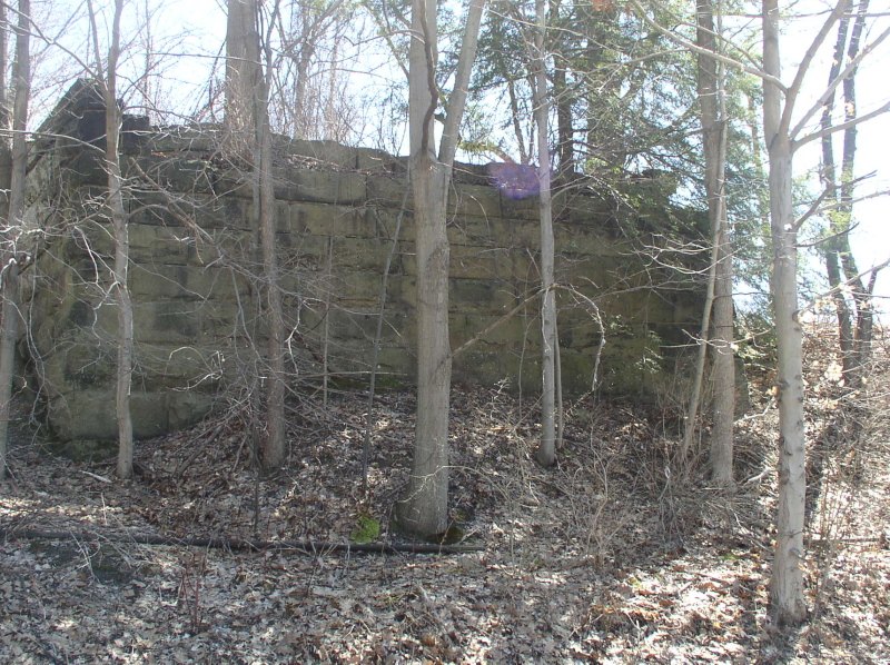
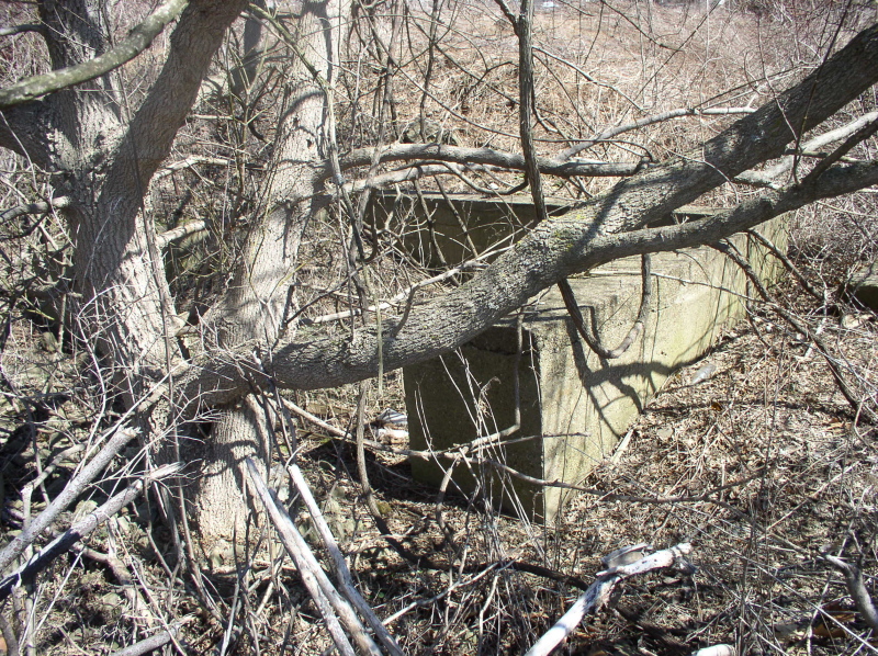
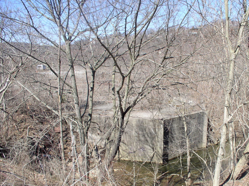
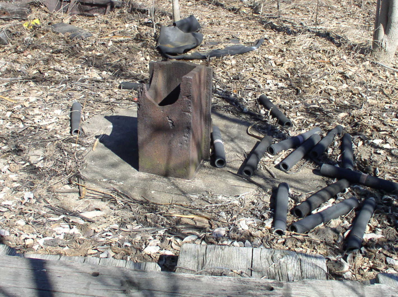
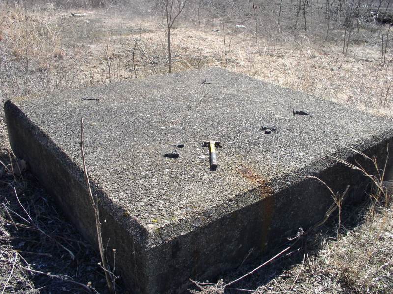
A stone foundation right along the RoW, but for what?
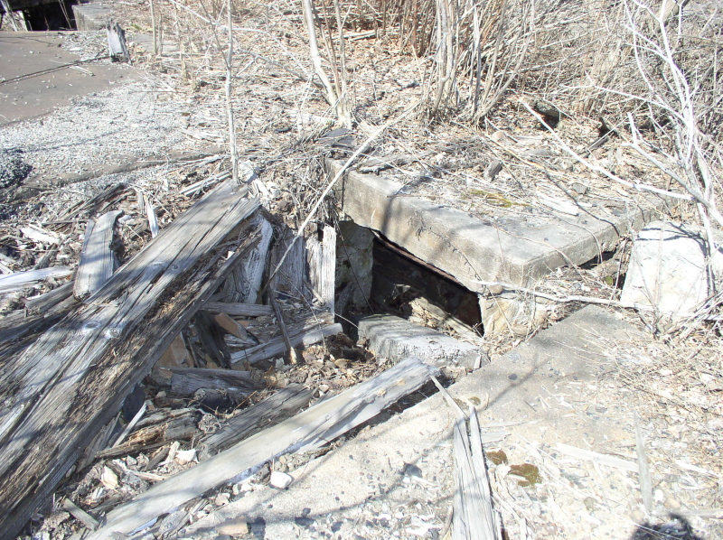
Less than a quarter mile further upriver, behind the newspaper office, we found the RoW was just a muddy path.
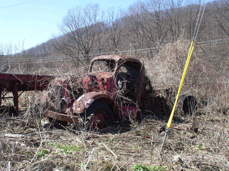
But there was a neat old White, too
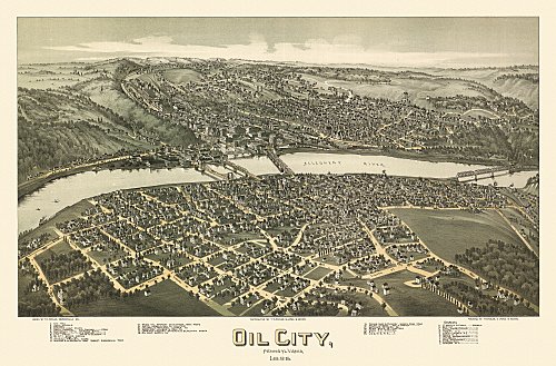
An old panoramic map of Oil City. The northern terminus of the Allegheny Valley mainline. The AV ran along the far bank (upper part).
"You can't get there from here!".... The RoW switches between paved bike path and posted property several times on the final approach to Oil City. Sometimes with the only way to GET to the beginning of a section of bike trail is a road posted "No Trespassing" This sign was on the trail. - 40 feet beyond one such sign.... Am I the only one who finds this just a little strange?
About this point we also found the beginning of partially active line. Norfolk Southern still switches a few industries along the old main here.
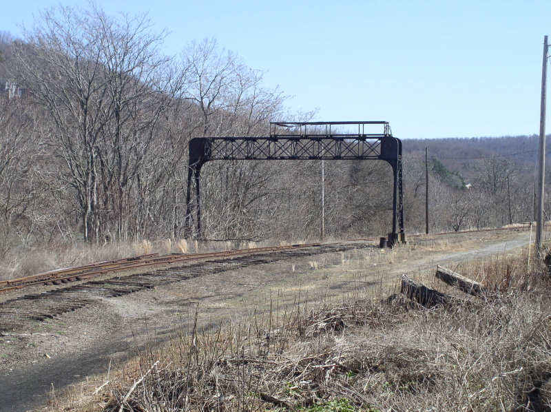
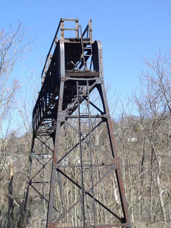
A bit further on, behind the Giant Eagle supermarket, was a stripped Pennsy era signal bridge
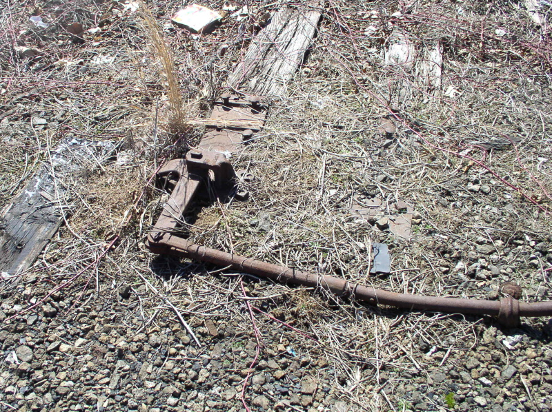
And an interlocking switch bellcrank connected to... nothing.
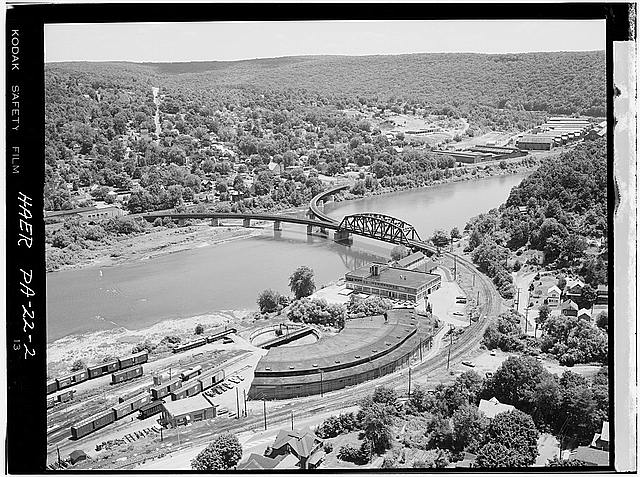
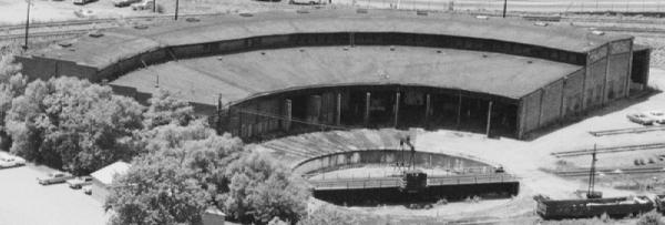
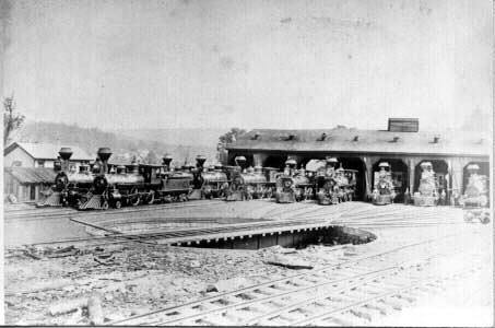
The reason we went to Oil City are these photos from about 1971
And the 1880s
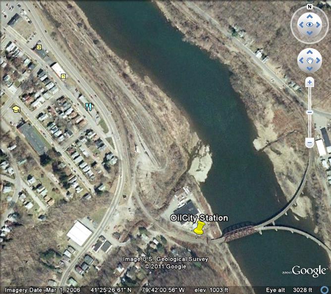
This Google Earth view from 2006 shows much of it was already gone. But we still wanted to see what was left.
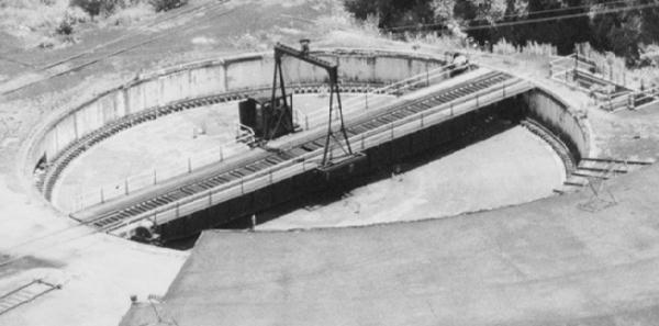
We found the remains of the roundhouse., the large building beyond it in the 1971 picture is now an antique mall. Too bad the roundhouse wasn't saved
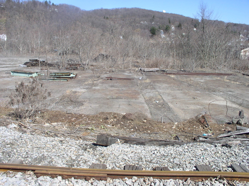
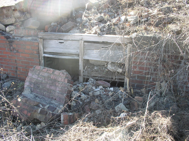
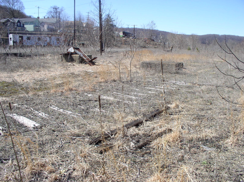
The yards were a mess of weeds, rotted ties, and tantalizing glipses of what once was
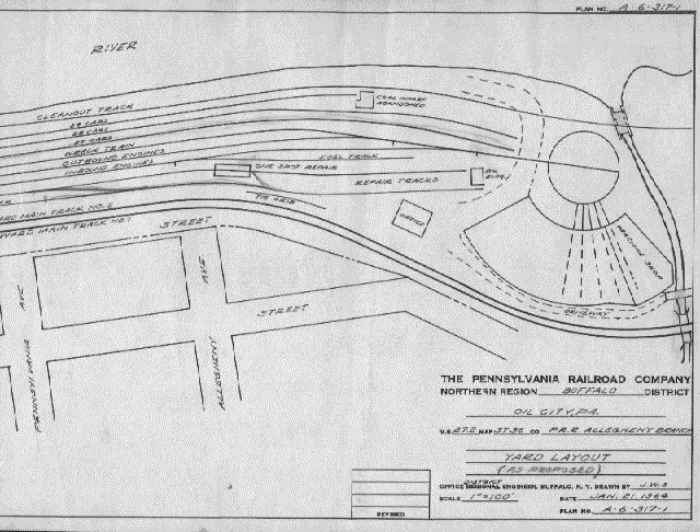
A drawing of the yards from 1964

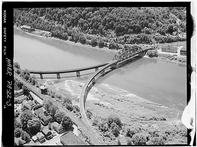
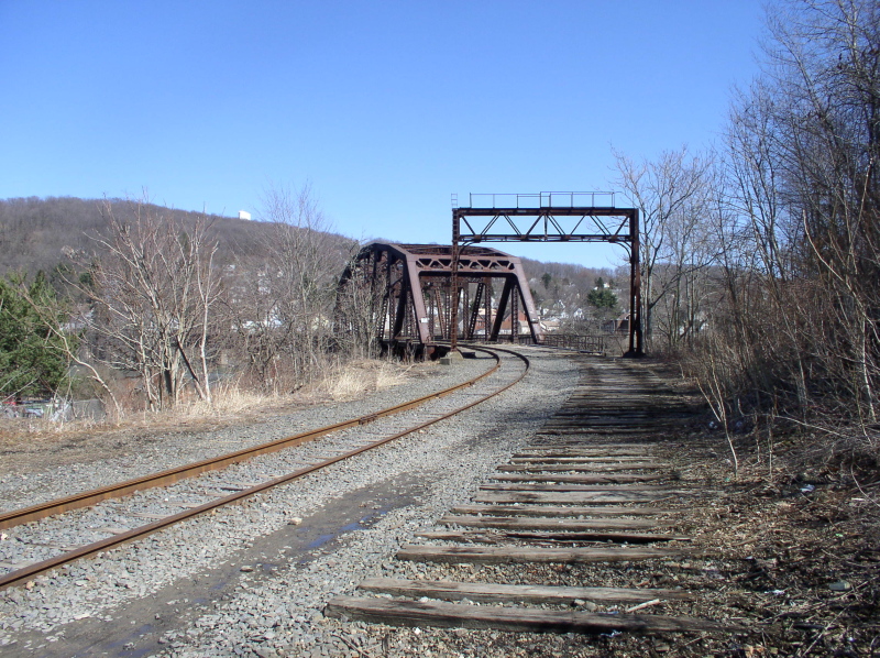
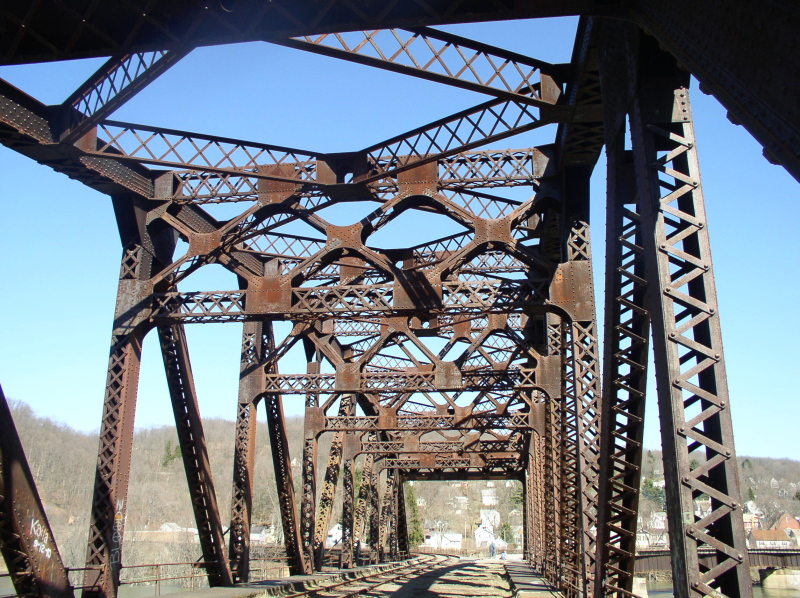
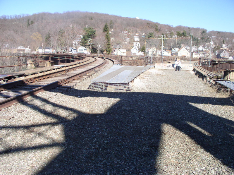
The wye bridge across the river still stands, and is half in use
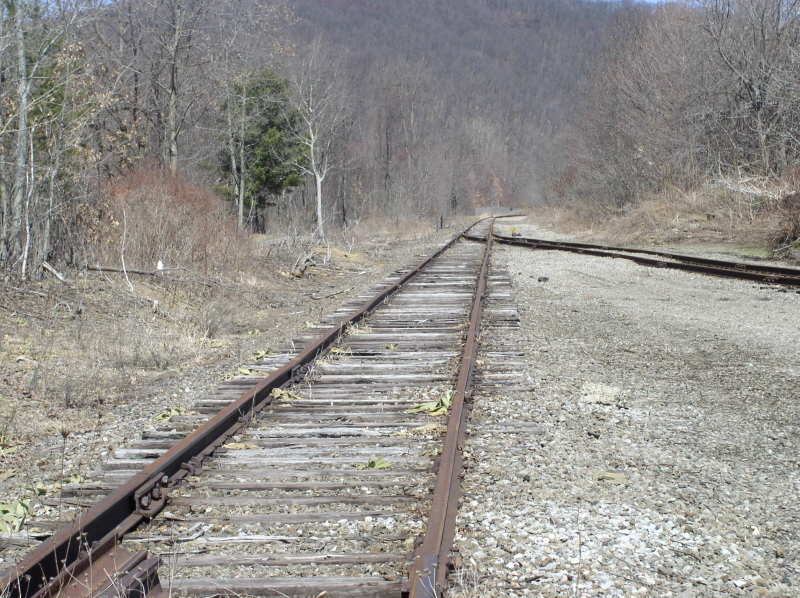
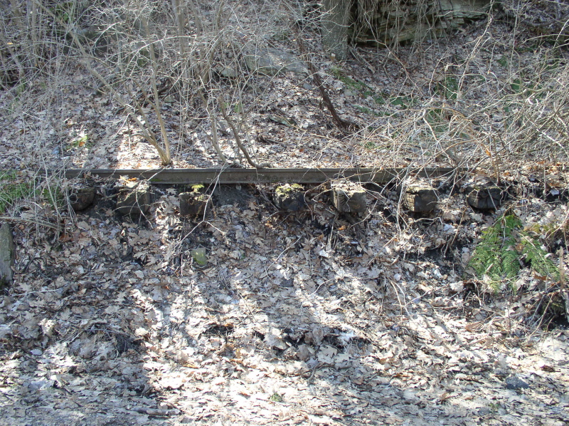
Just north of the bridge we found a surprise. A short stretch of long abandoned, but intact line
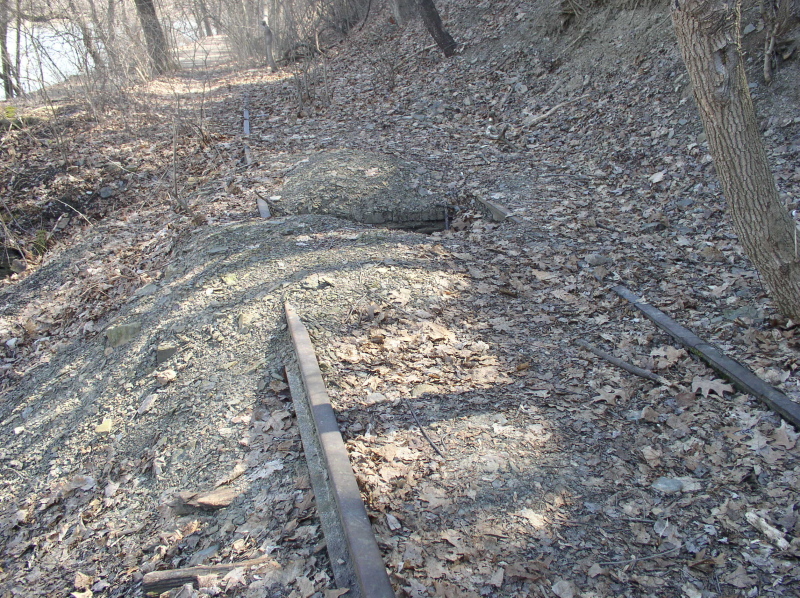
The old extension RoW then once again became a dirt path - heading further upriver towards Cranberry...
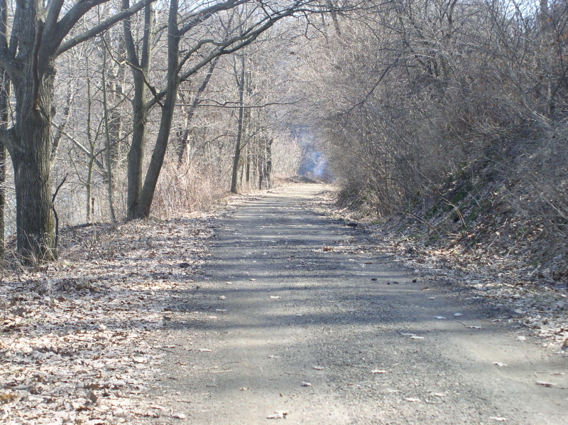
At which point the camera batteries died, so we'll have to pick up the trail again another day.
Thanks again for looking!
Part 1 - Ford City to Kittanning
Part 2 - Garvers Ferry/Butler Junction to Ford City
Hosted courtesy of the-ashpit.com - a narrow gauge railroad discussion forum for broad minded enthusiasts.
This page is part of the Allegheny Valley Garden Railroad pages