Nov 1, 2010 - Garvers Ferry/Butler Juction to Ford City

A brisk beautiful fall day for getting
lost and found and lost again. We tried to start at
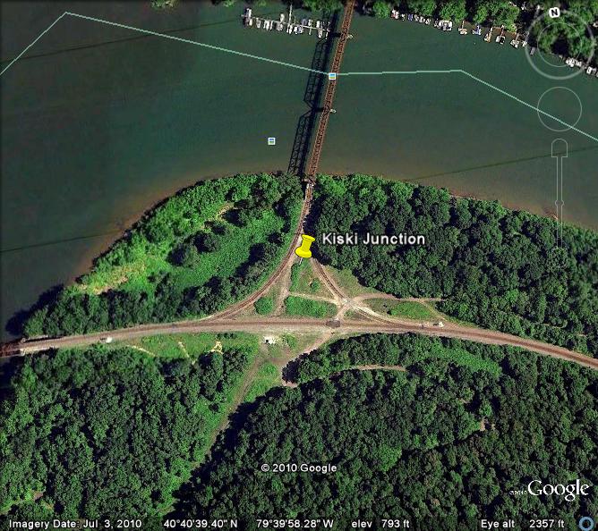
the Kiskikimenetas Junction...
but the state highway map was useless. So we started
at Garvers Ferry, also formerly known as Butler Junction in Allegheny
County just because we ended up there... There
is a lot of work being done on the RoW at this point..
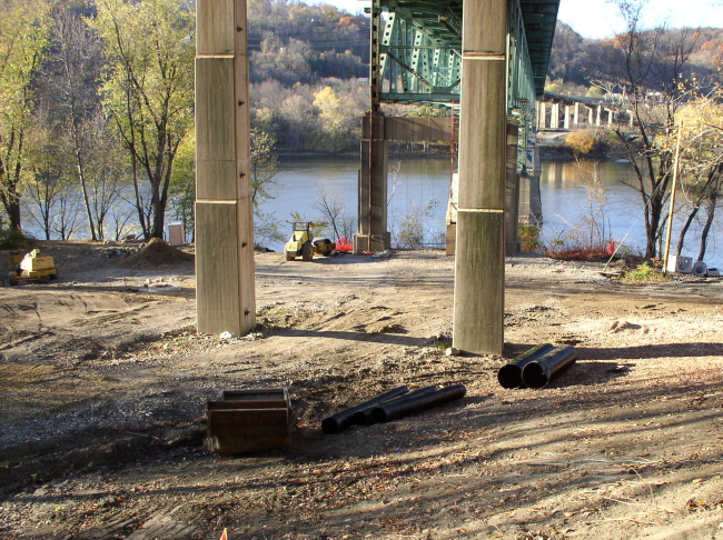
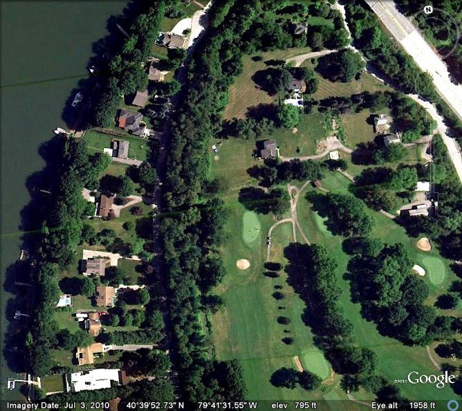
Just below here the RoW becomes a paved road flanked by expensive houses on one side and a golf course on the other..
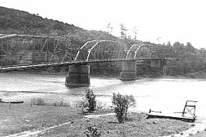
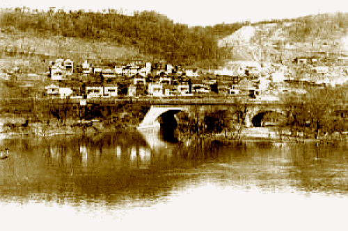
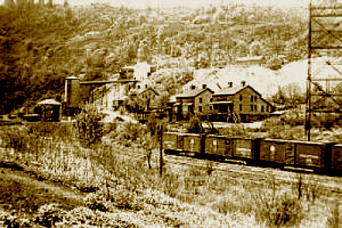
Photos of Butler Junction in grander
days. Here the Allegheny Valley/Pennsy met the Buffalo Creek
Valley Line.. This was a coal mining town. Most of these houses were
torn down to make way for the current Freeport bridge.

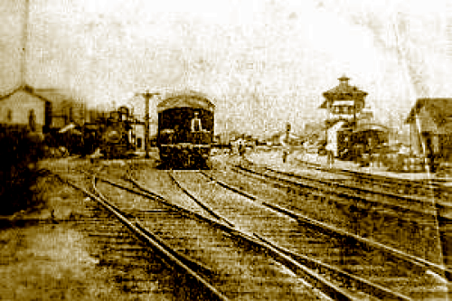
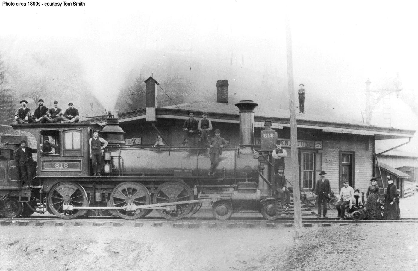
Old photo of a loco crew at Kiskikimenetas Junction
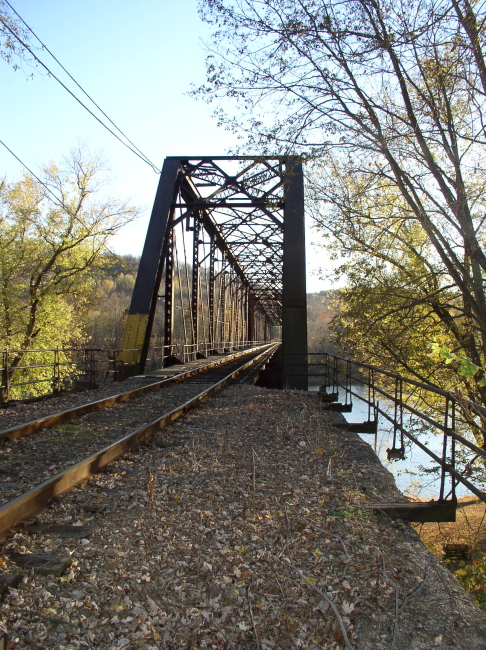
We found the RoW again just south of Shenley. This is the 1910 iron bridge over the Kiskikimenetas River, looking south. Kiskikimenetas Jct is just on the other side. This part of the line is still active, so I didn't even consider walking over the bridge. Either side of the RoW were gated private campgrounds, so this is the best angle I could get.
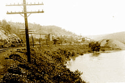
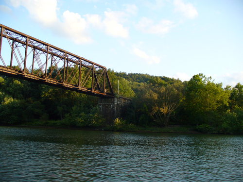
A borrowed pic of the bridge from the river looking south as well
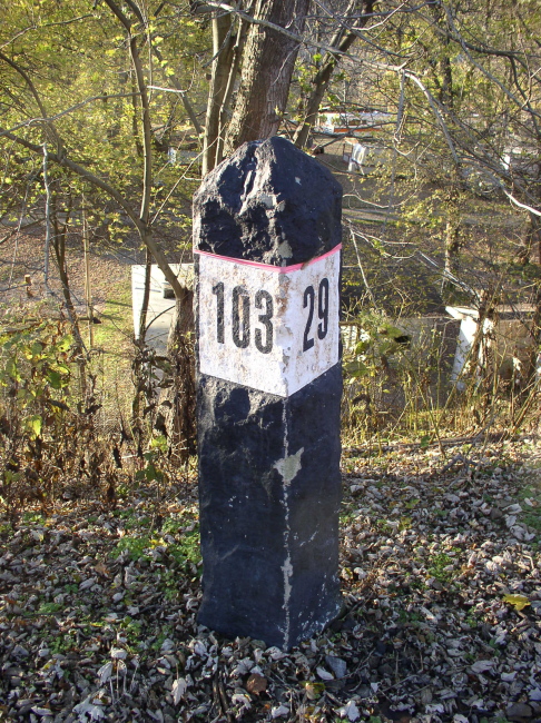
A stone obelisk mile marker stands near the bridge
And an old cast iron whistle post lets you know that you are coming to the grade crossing
The Kiski Junction RR at Shenley (population 55) was quiet on this late Monday afternoon
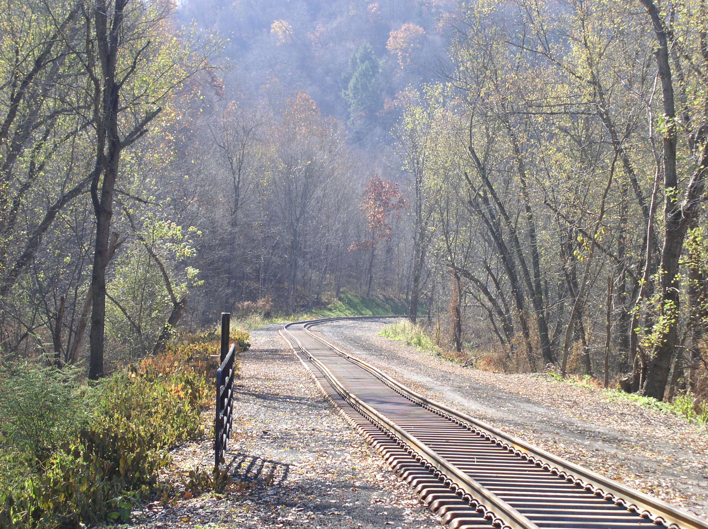
Here you can see the brand new steel ties they are installing just north of Shenley,.
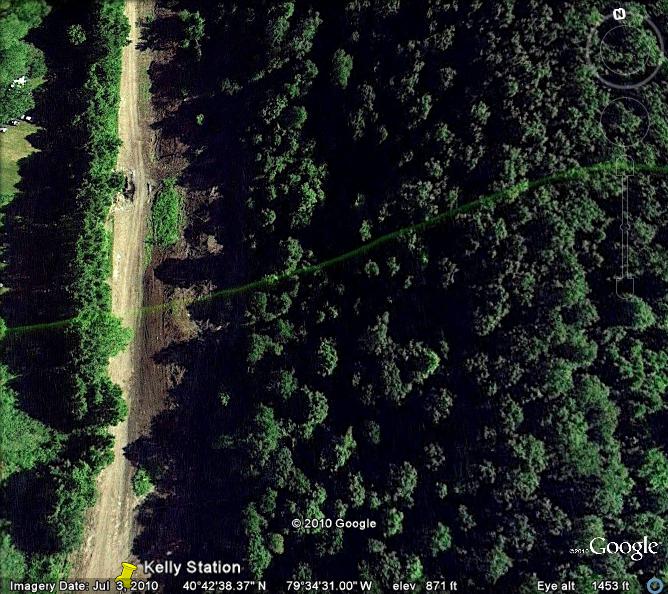
We ran out of road again. So we had to backtrack then try to cut over again to Kelly Station. There was a fatal wreck near this site on August 6, 1907.
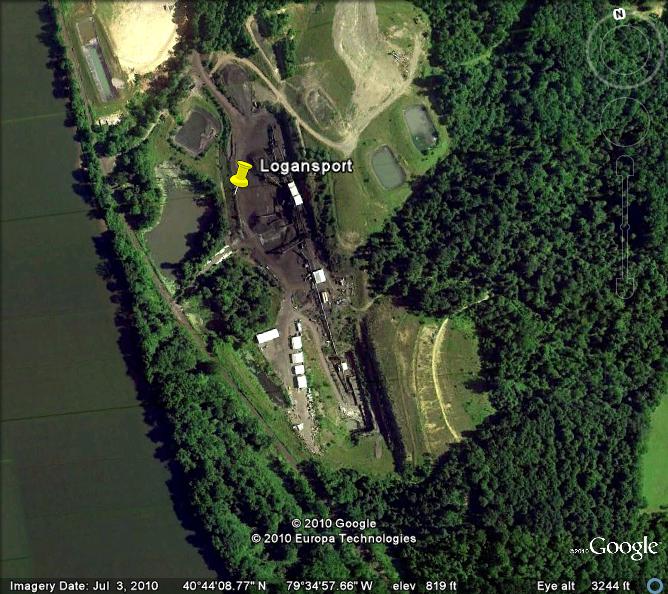
The Google Earth view-
Photos of the Kelly Station wreck of 1907


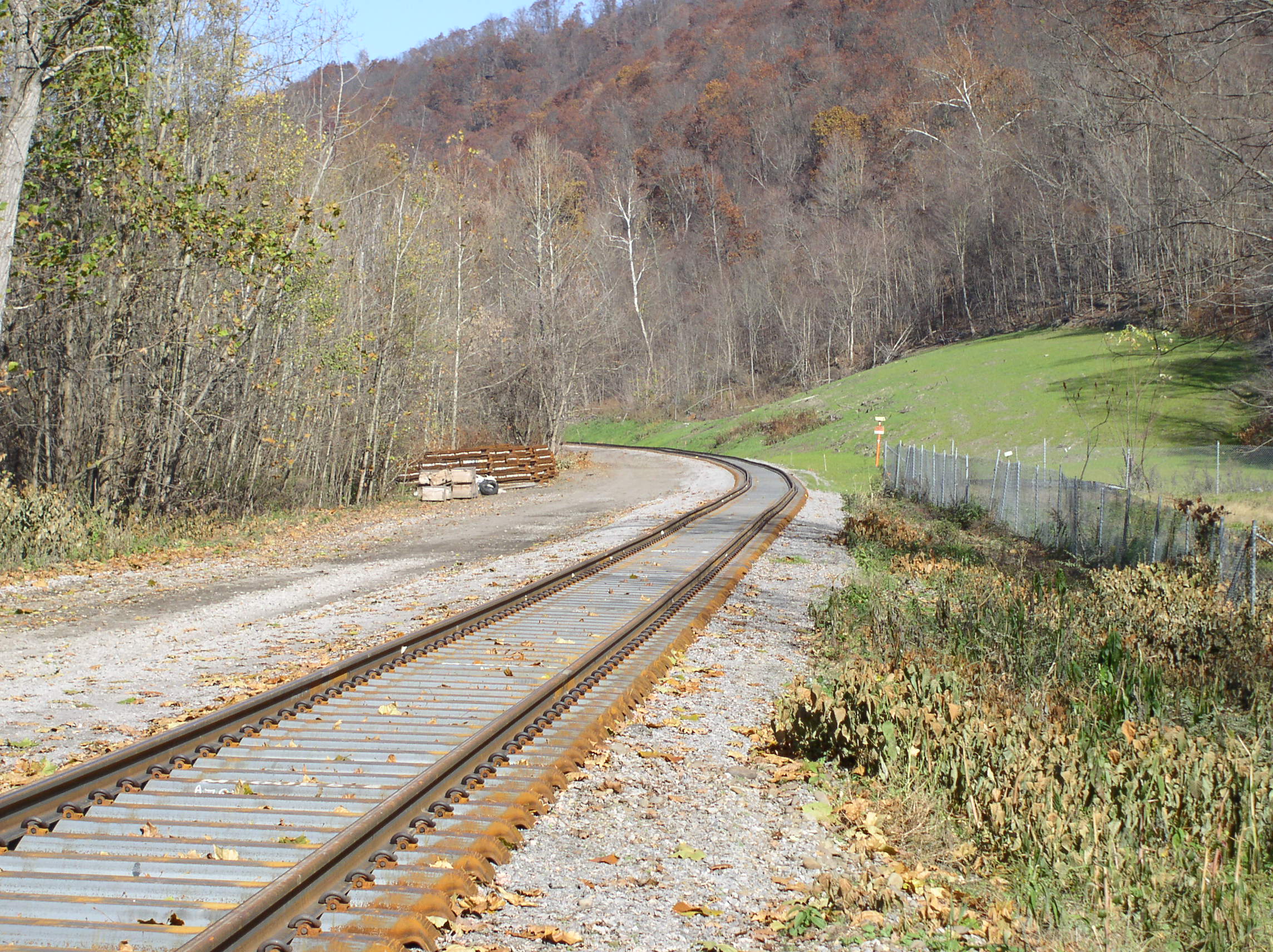
We thought we found it, except, somehow we ended up at Logansport....We backtracked a few days later to find that the track has been rebuilt this far. Kelly Station looking south.
And north....
An earthenware Crock What was it used for? And why was it lettered for the AVRR?

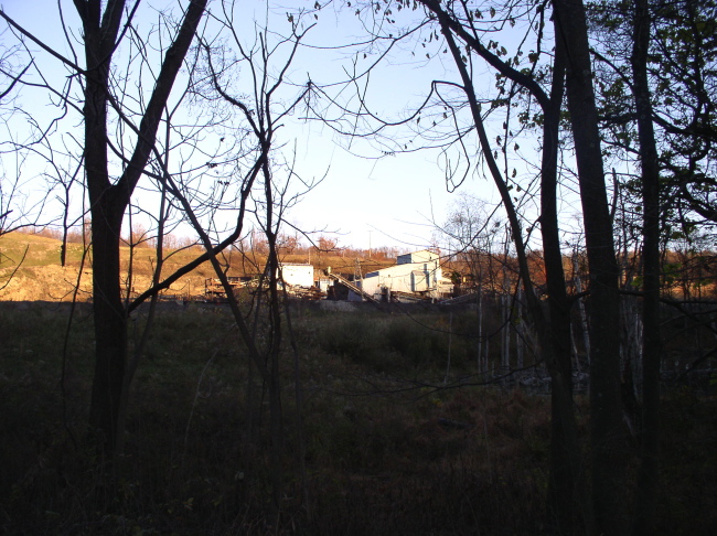
This is Logansport A closed gate blocks the casual visitor from the RoW
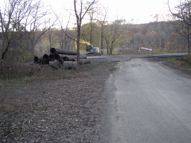
All there was to see in 2010 was a mine... which is how we figured out how lost we really were!
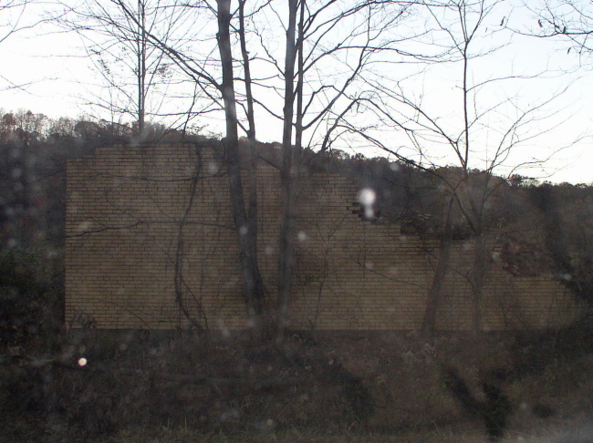
There was also a crumbling brick wall. I've been told this was once a brewery... when there was a town.
We were losing daylight so we gave up on finding Kelly Station (being lost in the dark is no fun!) Google Earth shows the mine we found is exactly where Logansport was supposed to be according to our 1895 map.
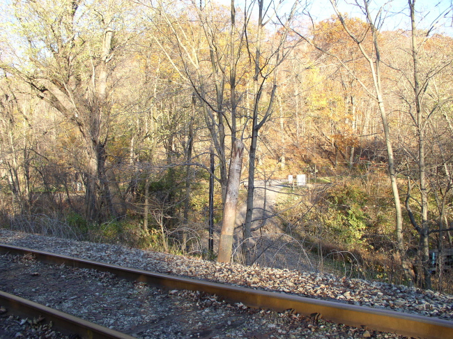
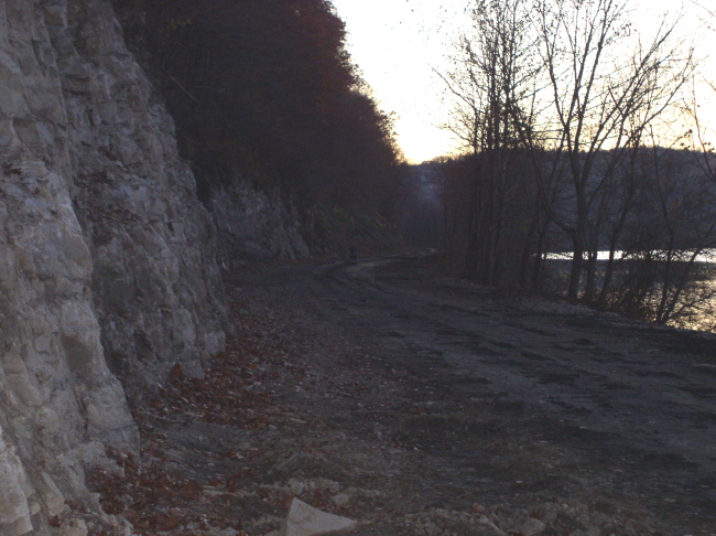
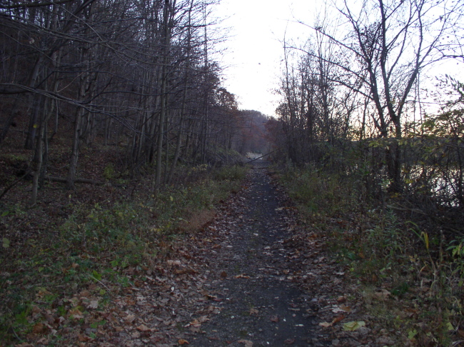
We were able to pick up the line again about 3/4 of a mile south of Rosston. Once again we found that the roadbed is being worked on. It appears to be getting ready to re-open the whole way from Shenley to here. Looking south.towards Logansport
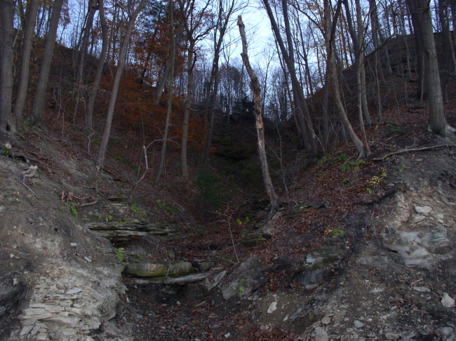
Wild country so close to civilization? As I said, there aren't many roads, much of this area is heavily wooded steep ravines like this
We found this Cat sleeping on the RoW

A turn-of-the-(last)century AVRR freight

Looking south. from just beyond the bridge over Crooked Creek The trail kind of peters out to suddenly be replaced by the construction zone in the previous pictures just beyond the fallen tree
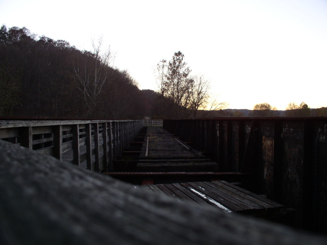
The plate bridge over Crooked Creek

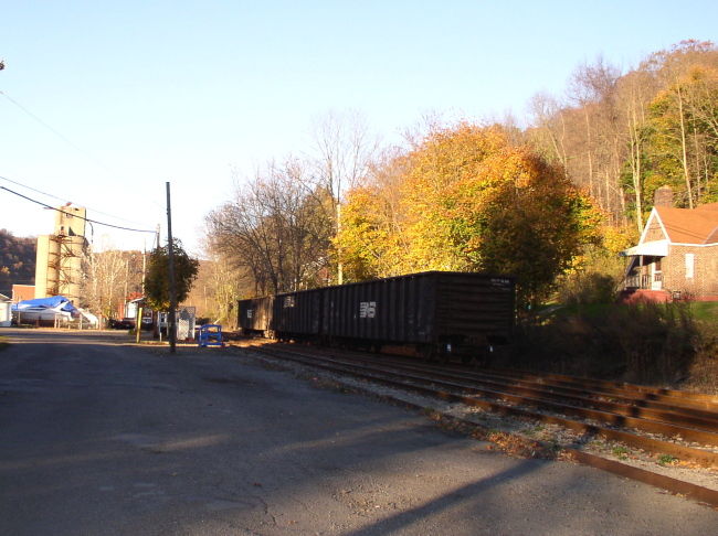
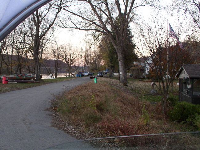
Rosston, the road here is built on the
RoW -- How they will get home if this part of the line becomes active
again I don't know. On a historical note,:the Allegheny Valley Railroad
first opened for business at the Rosston station on Dec 11, 1855.
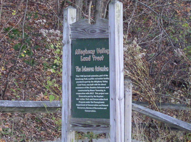
Trail Sign
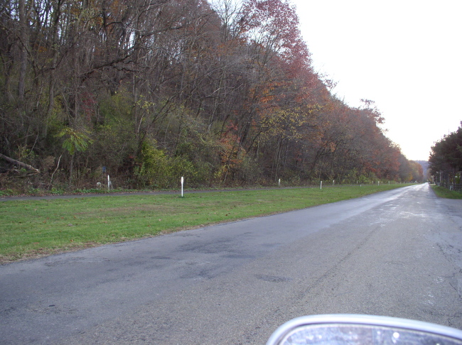
Looking South from Rt 128 below Ford
City. This is about 50 feet from where page 1 started.
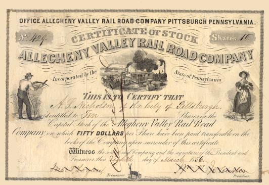
Here is an 1856 stock certificate. It says the owner purchased 10 shares at $50 each, which is $500 -- or just about twice what many folks made in an entire year back then.
With winter fast approaching it will probably be spring before we are able to do another section. Watch for new updates!
Here is an 1856 stock certificate. It says the owner purchased 10 shares at $50 each, which is $500 -- or just about twice what many folks made in an entire year back then.
With winter fast approaching it will probably be spring before we are able to do another section. Watch for new updates!
Hosted courtesy of the-ashpit.com - a narrow gauge railroad discussion forum for broad minded enthusiasts.
This page is part of the Allegheny Valley Garden Railroad pages