Oct 29 2010 - Ford City to Kittanning

I had intended to begin chasing the
Right of Way at Kiskiminetis Junction, but we had to pick my daughter
up in Kittanning, so my girlfrind Kim and I decided to take a couple
hours and explored nearby. The old RoW here is now a trail, not a lot
of evidence left that it was once a railroad dating back to 1856. The
day was very cool breezy and damp, not much fun to walk in for long, so
many of the following photos were shot from the car.
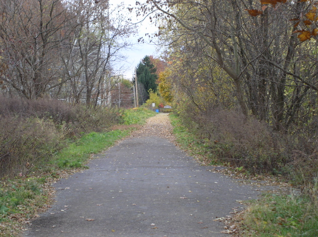
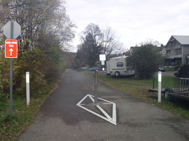
. The Armstrong Trail
. The Armstrong Trail

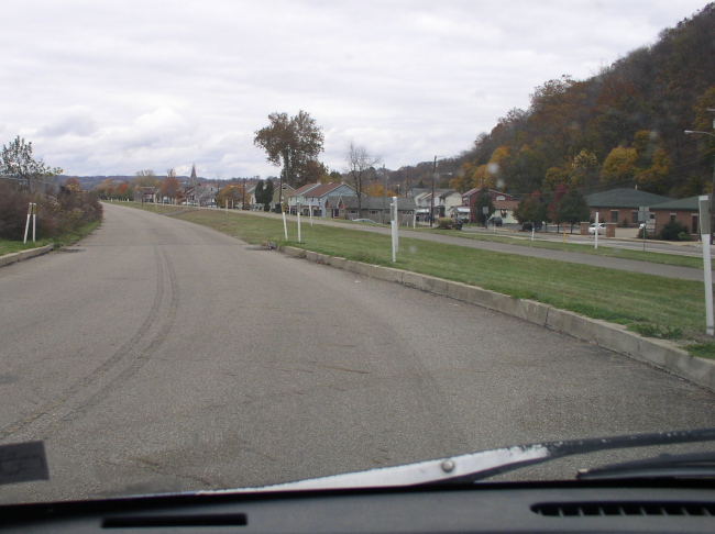
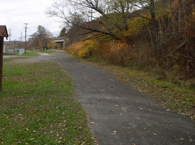
South of Ford City looking north. The old railbed is the paved strip to the right.
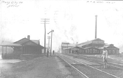
Ford City Depot back then, looking South And also in an 1896 Panoramic Map
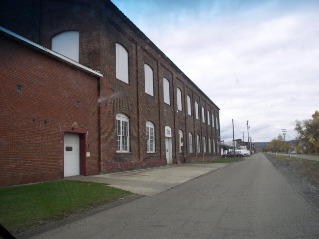
Just south of the area above, looking north. The glassworks building on the right in the above photo can just be seen in the distance. It is in the process of being demolished
Heading North out of Ford City towards Graff The RoW becomes a gravel strip.
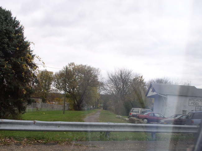
Graff, the RoW ran where the burn pit and cars are
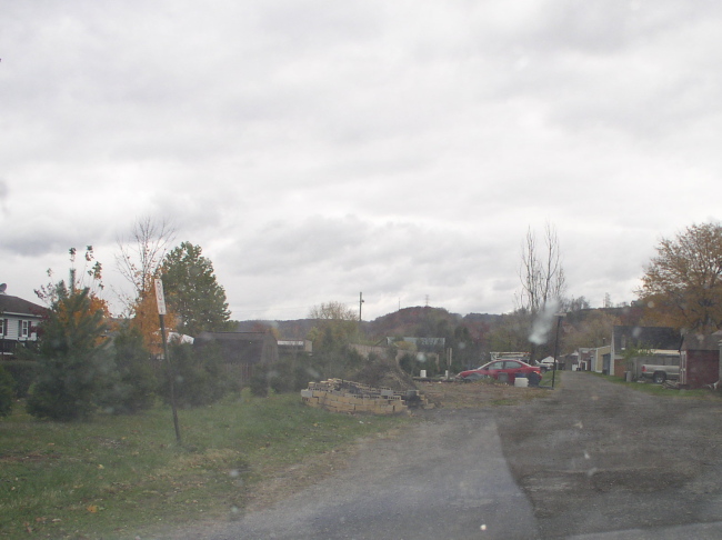
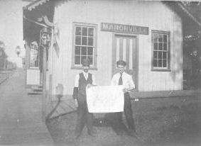
Manorville station, then
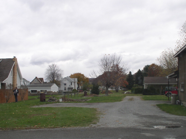
Manorville now, again, the RoW ran where the trash barrels are
Standing under the Rt 422 bridge looking south toward Manorville after a 15 minute walk from Kittanning
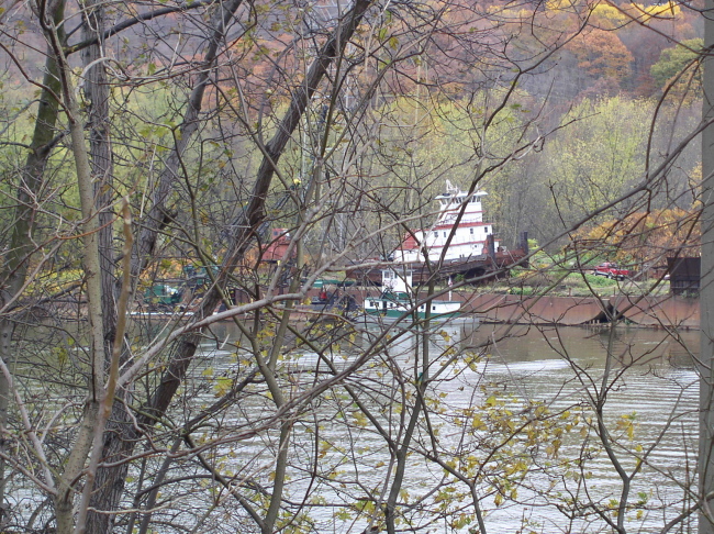
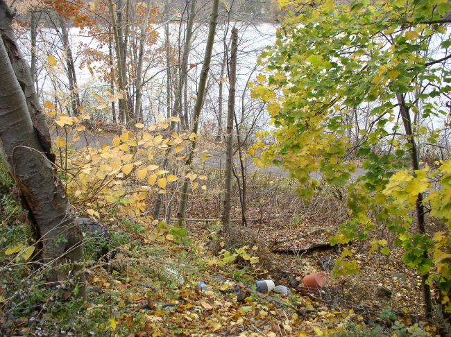
View of the river and a towboats from the RoW near the 422 bridge
A fallen telephone pole along the RoW. The first telephone lines in Armstrong County were strung alongside the Allegheny Valley RR in 1863 and later taken over by Western Union
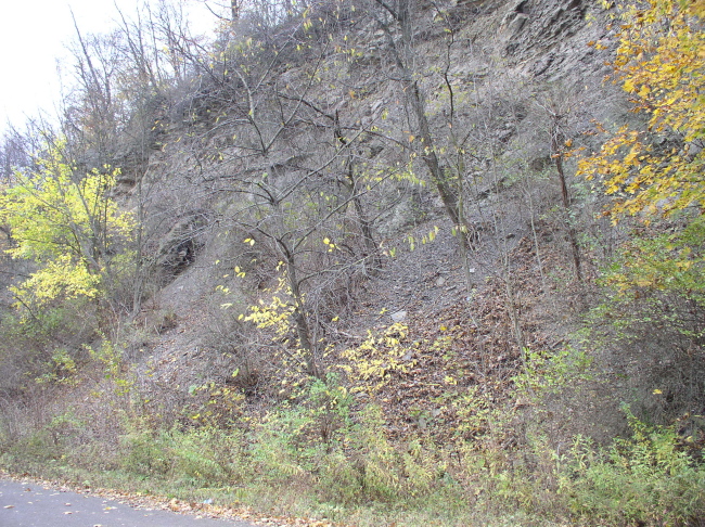
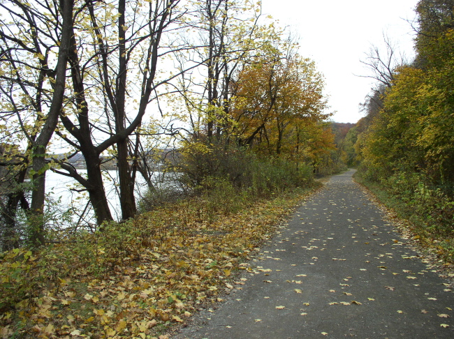
The railroad in this area was on a ledge cut about 20 feet above the river, with a steep drop to the water.
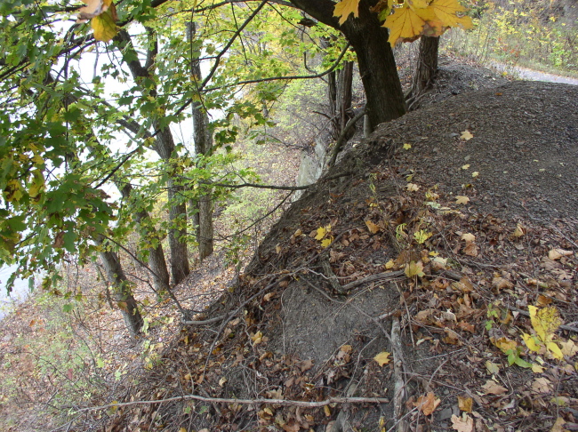
The on other side was a rocky bluff going almost straight up for another 60 feet
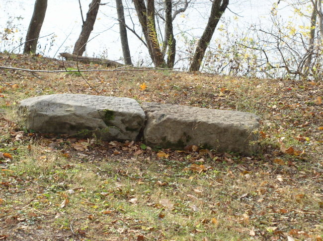
Cut stone and rubble.
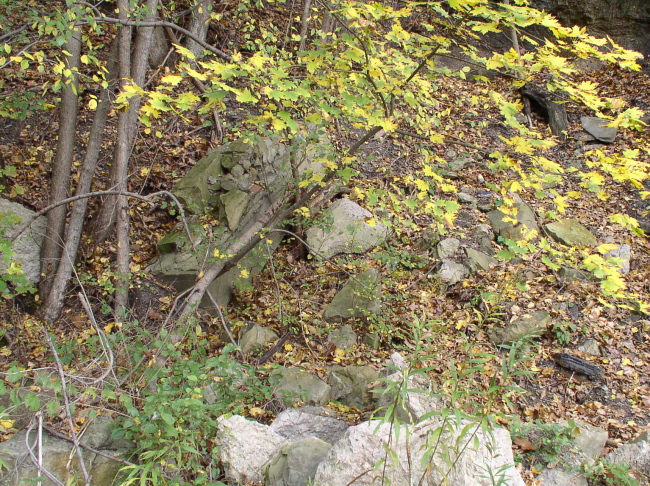
More cut stones
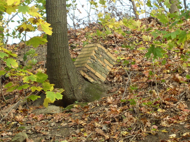
And a chimney above the RoW in the middle of nowhere?
Heading north coming into the bend going into Kittanning
Entering Kittanning, the RoW runs under the overpass. There also was a spur off to the left here shown in an 1896 panoramic map , serving several industries, then running along the river's edge to just beyond Citizen's Bridge. I want to check with the local Historical Society on this before I commit, that it ever went farther, and when it was taken up.
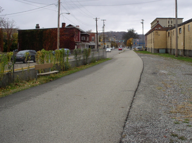
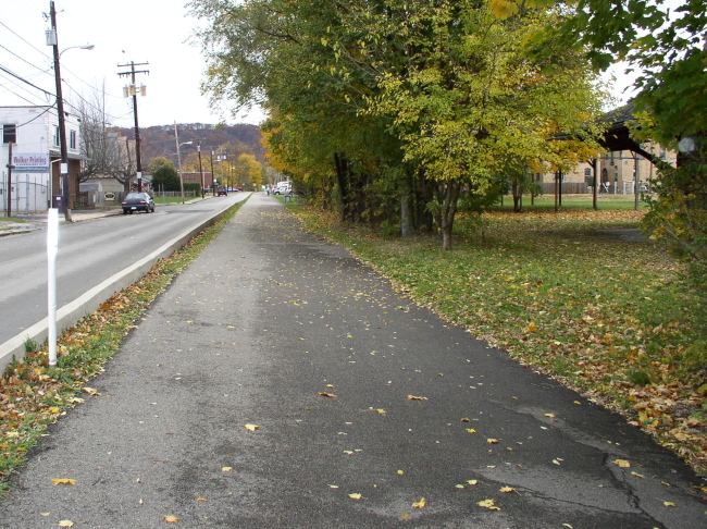
Heading north through town towards Kittanning Station. This portion of the trail is again paved
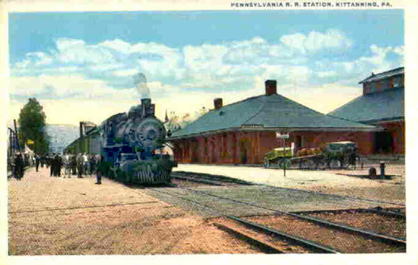
Postcard of Kittanning Station then, after the AV became part of the PRR
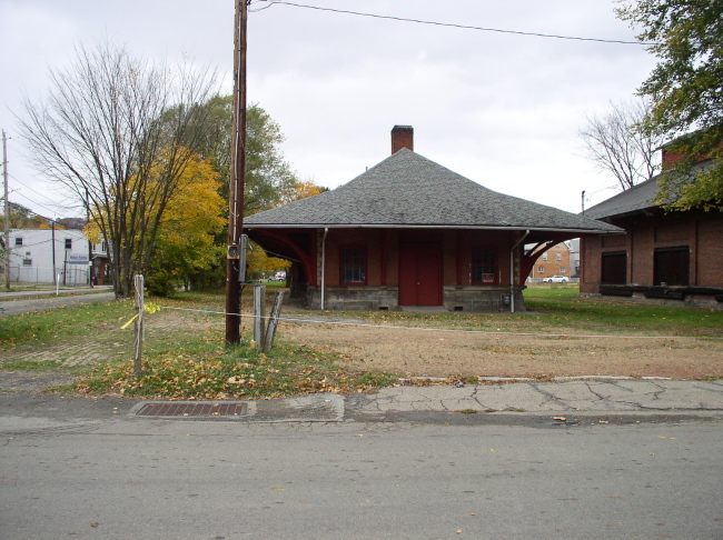
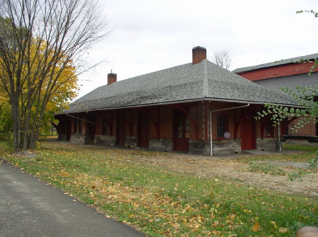
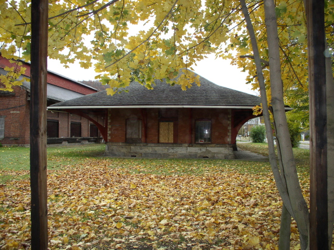
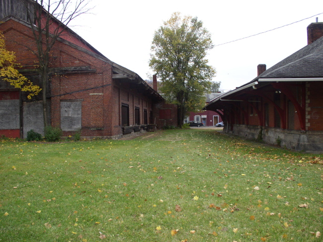
Kittanning Station now South, Front, North
Directly behind the station stands this interesting structure. A transfer warehouse? A service building?
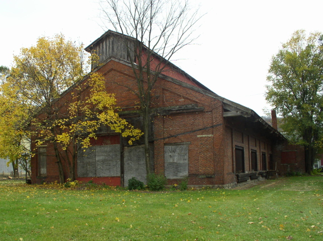
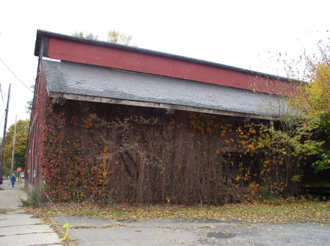
It's proximity and alignment with the depot suggests much. As does the 1896 panorama map. I'll have to look into this more. The Historical Society was closed.
Heading north coming into the bend going into Kittanning
Entering Kittanning, the RoW runs under the overpass. There also was a spur off to the left here shown in an 1896 panoramic map , serving several industries, then running along the river's edge to just beyond Citizen's Bridge. I want to check with the local Historical Society on this before I commit, that it ever went farther, and when it was taken up.
Heading north through town towards Kittanning Station. This portion of the trail is again paved
Postcard of Kittanning Station then, after the AV became part of the PRR
Kittanning Station now South, Front, North
Directly behind the station stands this interesting structure. A transfer warehouse? A service building?
It's proximity and alignment with the depot suggests much. As does the 1896 panorama map. I'll have to look into this more. The Historical Society was closed.
Again heading north from directly in front of the Kittanning station
Heading north out of Kittanning towards Neale
View of the RoW from the highway about 1/2 mile outside Kittanning
We were running short on time, so that's all the further we managed to explore today. I hope you all have enjoyed the trip so far, short as it was.
Thanks for looking!
Part 2 - Garvers Ferry/Butler Junction to Ford City
Part 3 - Franklin and Oil City
Hosted courtesy of the-ashpit.com - a narrow gauge railroad discussion forum for broad minded enthusiasts.
This page is part of the Allegheny Valley Garden Railroad pages